

CUET Preparation Today
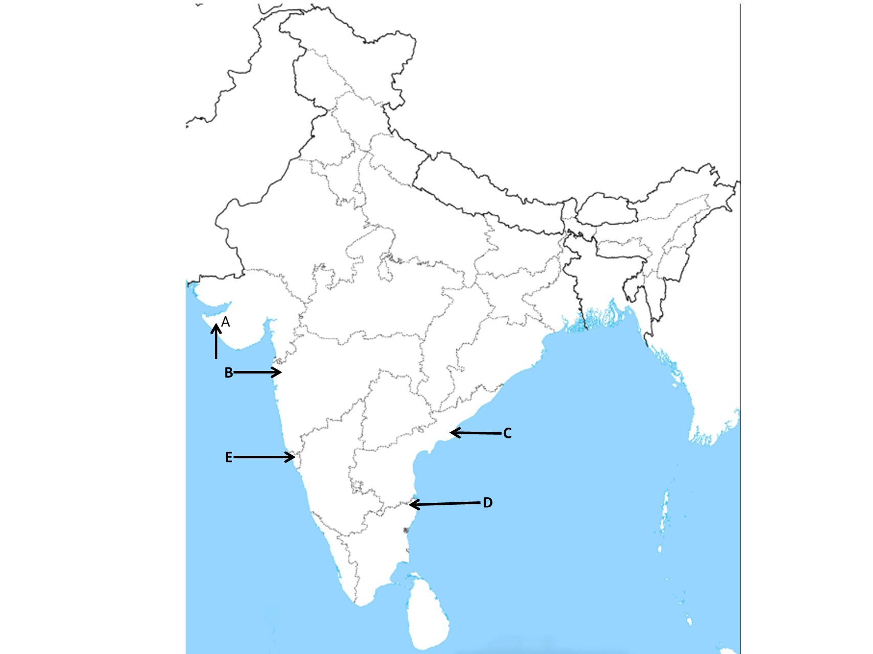
The given political outline Map of India shows five seaports A, B, C, D, and E. Choose the correct names from the options based on the following information.
|
This port was developed in the west to compensate for the loss of Karachi port. |
A B D E |
A |
The correct answer is Option 1: A (Kandla Port) The partition of the country snatched away two very important ports, i.e., Karachi port went to Pakistan and Chittagong port to erstwhile east Pakistan and now Bangladesh. To compensate for the losses, many new ports, like the Kandla in the west and the Diamond Harbour near Kolkata on river Hugli in the east were developed. |