

CUET Preparation Today
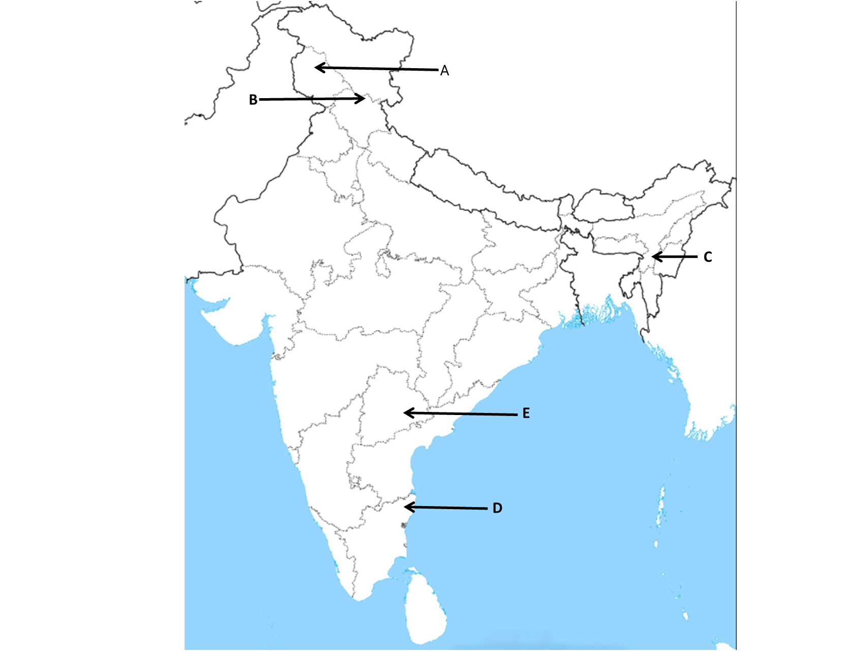
The given political outline Map of India shows five places A, B, C, D, and E. Choose the correct 'alphabet' from the options based on the following information.
|
The East-West Corridor's easternmost point. |
A C D E |
C |
C = Silchar North-South and East-West Corridors: North-South corridor aims at connecting Srinagar in Jammu and Kashmir with Kanniyakumari in Tamil Nadu (including Kochchi-Salem Spur) with a 4,076-km long road. The East-West Corridor has been planned to connect Silchar in Assam with the port town of Porbandar in Gujarat with 3,640- km of road length. |